Hampton Roads Heritage Hunt: Hampton
Hampton Location:
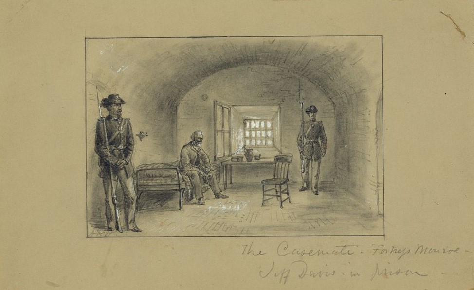
1) Fort Monroe, 20 Ingalls Road
Scroll down for more information about this site and for the questions to answer!

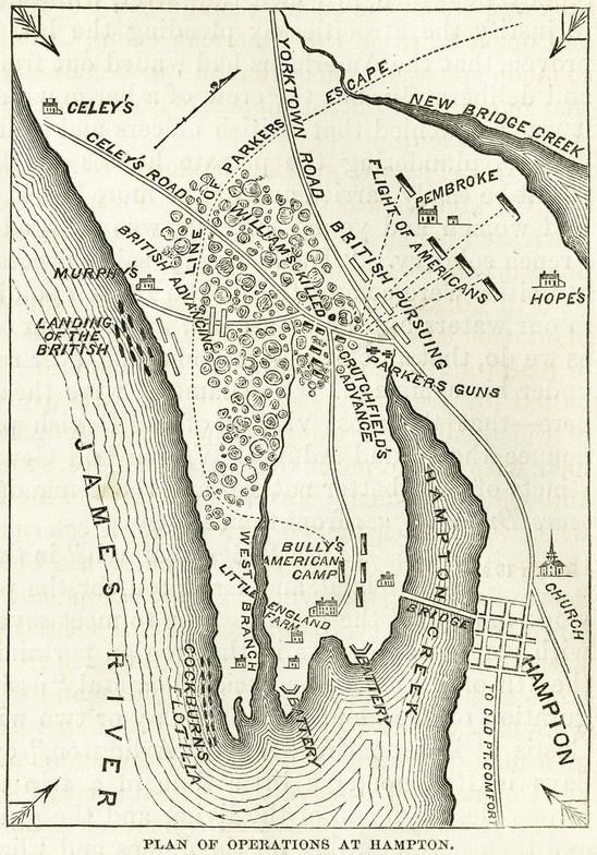
Take Notice: If you travel northeast on Chesapeake Avenue, toward Fort Monroe, you will pass through the site of the British invasion of Hampton during the War of 1812, at the mouth of Indian River Creek, between Chesterfield Road and Powhatan Parkway. See “Local History Spotlight” for details.
British Invasion of Hampton, Local History Spotlight

Location: Fort Monroe
20 Ingalls Road, Hampton VA 23651
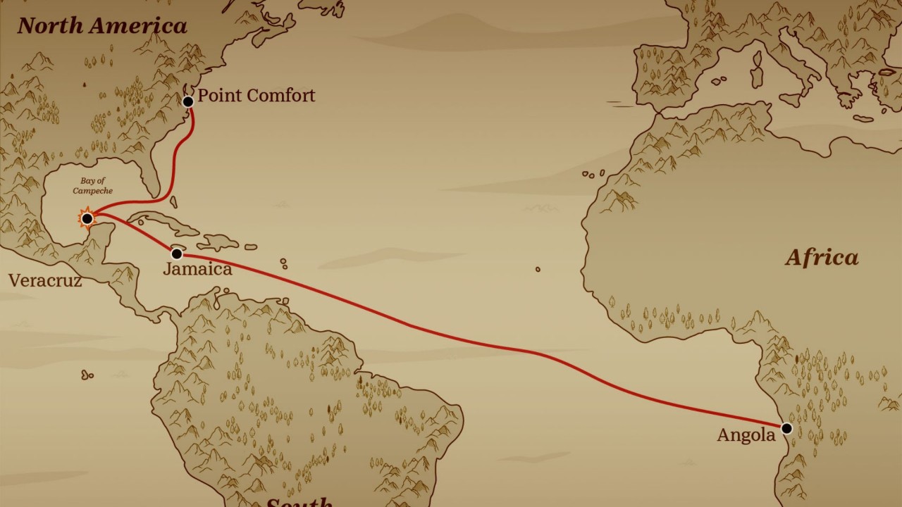
First Slave Ship Landing in Virginia, Fort Monroe
In August 1619, the first African slave ship to land in Virginia arrived at Point Comfort, today Fort Monroe. Learn about the first Africans in Virginia by watching our Local History Spotlight.

Heritage Hunt Questions for Hampton
33) Find the “First Africans in Virginia” historical marker and take a picture of it.
34) How many feet from the 1895 seawall have been preserved?
35) Find Battery Irwin. how many guns remain at Battery Irwin?
36) What is Battery Irwin’s building number?
Your next city on the Heritage Hunt is Virginia Beach! Click here to go to the Virginia Beach page.


