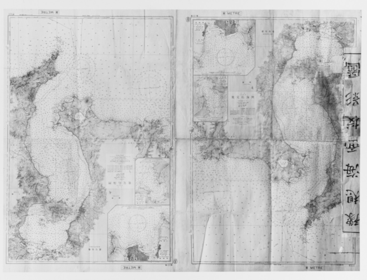
NH 114476 Japanese Chart of Okinawa

Download Image:
Low (PNG, 319x319px, 70KB)
Med (JPEG, 1280x1280px, 209KB)
High (TIFF, 5952x4548px, 26MB)
Low (PNG, 319x319px, 70KB)
Med (JPEG, 1280x1280px, 209KB)
High (TIFF, 5952x4548px, 26MB)
Title:
Caption:
Description:
Catalog #:
Copyright Owner:
Original Creator:
After this Year:
Before this Year:
Original Medium:
Topic
Document Type
- Photograph
Wars & Conflicts
Navy Communities
File Formats
- Image (gif, jpg, tiff)
Location of Archival Materials
Recipient Name


