NH 64196 New York City-plan-1775
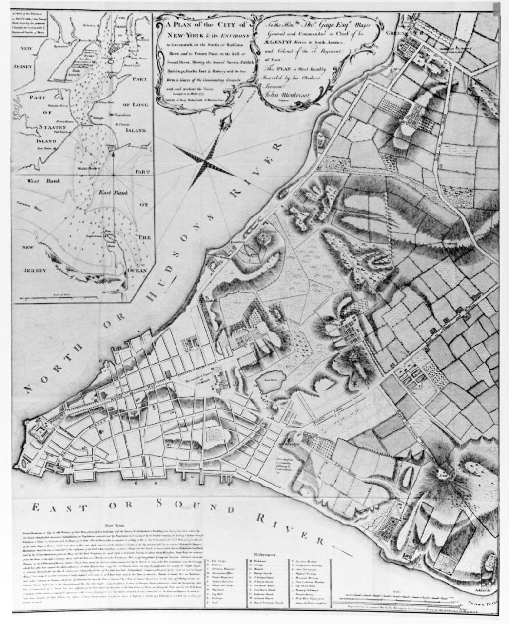
New York City-plan-1775
Title: New York City-plan-1775
Caption: "A plan of the city of New York and its environs" etc. This is a facsimile of the second state of this map, published by A. Dury in 1775. The first state, without the publisher's imprint, was published in 1766, although both had the notation: "P. Andrews sculp." writing in 1768, Pierre E. Du Simitiere referred to the map as being "extremely incorrect and full of gross errors," a situation which may have been caused by the survey's being done in seven weeks, from December 16, 1765 to February 8, 1766 (Notwithstanding the date of the survey as stated in the caption) during the disturbances occasion. Ed by the stamp act.
Description: Courtesy of Mr. Frederick S. Hicks, Alexandria, VA.
Catalog #: NH 64196
Copyright Owner: Naval History and Heritage Command
Original Creator:
After this Year: 1960
Before this Year: 1969
Original Medium: BW Photo
Related Content
Topic
  • Places--U.S.
Document Type
  • Photograph
Wars & Conflicts
  • Revolutionary War 1775-1783
File Formats
  • Image (gif, jpg, tiff)
Location of Archival Materials